The GR20, spanning 180 kilometers across Corsica, is a celebrated long-distance trail divided into 16 stages. Each stage, ranging from 8 to 25 kilometers, traverses the island’s contrasting landscapes from north to south. Renowned for its total elevation gain of 12,000 meters, this trail presents a formidable challenge, averaging an ascent and descent of 800 meters daily.
Regarded as one of Europe’s most demanding hikes, the GR20 features rugged, often unmaintained paths with scrambles and exposed ridges, demanding good physical condition and mountain backpacking experience. Typically, hikers complete the trail in 14 to 16 days, with durations varying based on fitness and experience.
The journey commences in Calenzana in the northwest and concludes in Conca in the southeast. Along the route, numerous water sources are available, though treatment before consumption is advised. Accommodation options include mountain refuges and camping sites, with advance booking recommended during peak season.
The trail is a haven for diverse wildlife, including wild boar, mouflons, and golden eagles. The scenery is a highlight, offering views of majestic peaks, verdant forests, and pristine lakes. Completing the GR20 is not only a test of endurance but also a profoundly rewarding experience, offering stunning vistas and a deep connection with Corsica’s natural splendor.

Best Time to Hike
The ideal time to hike the GR20 is between May and October when the weather is relatively stable and the refuges are operational. During this period, the temperatures are conducive, and the trails are accessible. Notably, the refuge operation times may vary with some closing earlier or later based on weather conditions. The average weather during these seasons is as follows:
- Spring (May to June): Mild temperatures with occasional rainfall, a pleasant time for hiking as the trail is less crowded.
- Summer (July to August): Warmest months with higher foot traffic, booking accommodations in advance is advisable.
- Autumn (September to October): Cooler temperatures and fewer crowds, a favorable time for a serene hiking experience.

GR20 Preparation
Physical Preparation
- Fitness Level: A good fitness level is crucial as the GR20 is demanding. Engage in a training regime that includes cardio, strength training, and hiking with a loaded backpack to acclimatize your body to the trail conditions.
- Training Regimen: Begin your training at least 2-3 months before your hike, including hill and stair climbing, long walks, and adapting to various terrains and elevations.
Gear Checklist
- Sun Protection: Sunscreen, sunglasses, and sun-protective clothing.
- Hiking Boots: Durable, waterproof, and comfortable hiking boots or shoes.
- Other Gear: Trekking poles, a first-aid kit, IGN maps, a tent, a sleeping bag.
Useful Resources
- Websites: Official Corsica Regional National Park website for refuge booking, and online forums like the GR20 forum for insights from other hikers.
- Books: There are several guidebooks available that detail the GR20 trail, providing IGN maps, stage descriptions, and other useful information.

GR20 Transportation
To start your GR20 hike from either Calenzana (the northern starting point) or Conca (the southern starting point), here are the steps and options for each location:
Starting from Calenzana (North)
- Reaching Calenzana
- By Air: Fly to Calvi Airport, which is the closest airport to Calenzana, about 13 km away. Taxis are available at Calvi airport and train station to take you directly to Calenzana.
- By Ferry: If coming by sea, take a ferry to Calvi. The port is around 13 km from Calenzana. Hikers can take a taxi directly to Calenzana.
- By Train: If you arrive at Ajaccio, you can take a train to Calvi, which takes approximately 4 hours.
Starting from Conca (South)
- Reaching Conca


GR20 Duration
The GR20, a challenging hiking trail in Corsica, spans approximately 112 miles (180 kilometers) and usually takes 14-16 days to complete. However, your specific duration depends on factors like your fitness level, experience, and the time of year. Here’s a breakdown:
- Suggested Duration: The recommended time for the 16-stage GR20 hike is 14-16 days. This allows for a comfortable pace and leisurely breaks.
- Experienced Hikers: Some experienced hikers complete it in 10-12 days, but this pace requires high fitness and experience.
- Beginners: If you’re new to hiking or unsure about your fitness, it’s wise to take 15-18 days. This allows for adequate recovery.
Additional factors affecting the duration include weather changes and time spent at refuges for rest and recuperation.
GR20 Difficulty
The GR20 in Corsica is renowned as one of Europe’s most challenging hiking trails. Its difficulty arises from long, strenuous days, steep ascents and descents, and rugged terrain. This remote trail demands thorough preparation and a clear understanding of your hiking abilities.
Key Details of the GR20 Difficulty
- Distance: 180 kilometers (111 miles)
- Climbing: 12,100 meters (39698 feet)
- Average Daily Distance: 13 kilometers (8 miles)
- Average Daily Climbing: 756 meters (2,480 feet)
- Longest Stage: 23 kilometers (14.3 miles)
The GR20’s difficulty also stems from its diverse landscapes, including rocky outcrops, alpine meadows, and forests. Additionally, it passes through remote areas, emphasizing the need for thorough preparation. Corsica’s rapidly changing weather can further intensify the hike’s challenges.
GR20 Stages

The GR20 trail is divided into various stages, each offering a unique blend of Corsica’s diverse landscapes and challenges:
| Stage | From – To (North-South) | Duration | Climbing | Descending |
| 1 | Calenzana to Ortu di u Piobbu | 7h00 | 1550m | 235m |
| 2 | Ortu di u Piobbu to Carrozzu | 6h30 | 750m | 1050m |
| 3 | Carrozzu to Haut Asco | 5h30 | 860m | 710m |
| 4 | Haut Asco to Vallone | 8h00 | 1250m | 1230m |
| 5 | Vallone to Ciottulu di Mori | 4h00 | 800m | 250m |
| 6 | Ciottulu di i Mori to Manganu | 9h00 | 650m | 1050m |
| 7 | Manganu to Petra Piana | 6h00 | 670m | 475m |
| 8 | Petra Piana to Onda | 4h00 | 390m | 800m |
| 9 | Onda to Vizzavona | 7h30 | 990m | 1500m |
| 10 | Vizzavona to Capanelle | 5h30 | 1000m | 335m |
| 11 | Capanelle to Col de Verde | 4h30 | 320m | 620m |
| 12 | Col de Verde to Usciolu | 7h30 | 1290m | 830m |
| 13 | Usciolu to A Matalza | 4h30 | 400m | 650m |
| 14 | A Matalza to Asinau | 4h30 | 650m | 550m |
| 15 | Asinau to Paliri | 7h00 | 440m | 910m |
| 16 | Paliri to Conca | 5h00 | 160m | 970m |
Stage 1: Calenzana to Ortu di u Piobbu
- Terrain: A steep, uphill climb through dense forests and rugged terrain.
- Features: Panoramic views of the Mediterranean, crossing through the Sambuccu forest and up to the Arghjova promontory.
Stage 2: Ortu di u Piobbu to Carrozzu
- Terrain: Varied, incorporating open shingle-like areas and a cirque.
- Features: Ascends to Bocca di Pisciaghja before descending steeply to the Carrozzu refuge.

Stage 3: Carrozzu to Haut Asco
- Terrain: Begins with a scenic swing bridge and a riverside path, followed by steep climbs and descents.
- Features: The route passes by Muvrella Lake and culminates in a steep descent to Haut Asco.
Stage 4: Haut Asco to Vallone
- Terrain: Long and technical, crossing high ridges and steep scrambling sections.
- Features: Replaces the Cirque of Solitude, includes the high point at Point des Eboulis and offers an option to summit Monte Cinto.

Stage 5: Vallone to Ciottulu di Mori
- Terrain: Trail winds through pine forests with some challenging ascents.
- Features: The stage leads to the highest refuge on the trail, offering exceptional views of the Golu valley.
Stage 6: Ciottulu di i Mori to Manganu
- Terrain: A mix of ridge walking and descending into valleys, following the Golu river.
- Features: Breathtaking views of the western coastline and a possible stop at Castel di Vergio.
Stage 7: Manganu to Petra Piana
- Terrain: Involves hiking over high ridges with some steep sections.
- Features: Panoramic vistas of Lac de Capitellu and Lac du Melo, ending at the cliff-edge Petra Piana refuge.

Stage 8: Petra Piana to Onda
- Terrain: Offers two routes, one through high ridges and another through a valley, with ascents through beech forests.
- Features: Opportunities to stop at traditional shepherd folds for local cheese tasting and experiencing the natural beauty of the valley route.
Stage 9: Onda to Vizzavona
- Terrain: Features a significant descent through forested areas and along the Agnone river.
- Features: Includes the picturesque Cascade des Anglais waterfall and offers a view of the Monte d’Oro summit.
Stage 10: Vizzavona to Capanelle
- Terrain: A well-graded and moderate climb through lush woods, followed by undulating paths.
- Features: Passes through serene shepherd cabins and offers a tranquil experience amidst the dense forest.
Stage 11: Capanelle to Col de Verde
- Terrain: Characterized by a gentle hike on the lower slopes of Monte Renoso.
- Features: The route provides easy access to refreshment and accommodation at Col de Verde gite, nestled in a picturesque setting.
Stage 12: Col de Verde to Usciolu
- Terrain: Demands endurance with its difficult and exposed long ridge walk.
- Features: Offers stunning ridge views and a series of summits, including Punta Cappella and Monte Formicola, with Usciolu refuge located just below the ridge line.
Stage 13: Usciolu to A Matalza
- Terrain: A newer, less challenging stage, crossing the Cuscionu plateau.
- Features: Focuses on the ascent to the summit of Incudine, providing a mix of pastoral landscapes and panoramic views.
Stage 14: A Matalza to Asinau
- Terrain: Involves traversing ridges and descending steep slopes through beech forests.
- Features: Offers a unique experience with varied landscapes, leading to the Asinau refuge.
Stage 15: Asinau to Paliri
- Terrain: Presents an alpine variant for a more technical hike, or a longer but gentler path through forests.
- Features: Passes through the village of Bavella, providing access to amenities, and ends at the picturesque Paliri refuge.
Stage 16: Paliri to Conca
- Terrain: Marks the final stage with a descending profile through varied vegetation and sandy trails.
- Features: Concludes with views of Porto Vecchio bay and the satisfaction of completing the GR20, with an opportunity to celebrate the journey’s end in Conca.

GR20 Logistics
Ensuring a smooth hiking experience on the GR20 involves understanding and planning for the available amenities and regulations:
Water: Natural water sources are scattered along the trail, with refilling stations available at most refuges. Carrying at least 3 liters of water is recommended, especially during the summer months.
Food: Pack enough food for your day’s hike. While refuges offer some options, it’s wise to bring your provisions. Consider trail snacks like bread, sausage, or cheese for sustenance during your journey.
Bivouacking: Bivouacking is allowed in designated areas near refuges. Wild camping outside these areas is strictly forbidden.
Refuges
- Operation: Refuges typically open from May to October, although the exact dates may vary depending on weather conditions.
- Amenities: Common amenities include electricity, bedding, and cooking facilities. Some refuges offer showers and laundry facilities.
- Refuge Booking Site: To secure a spot, it’s advisable to book accommodation at refuges through the Corsica Regional National Park website. Booking in advance is advisable, especially during the peak summer months.

GR20 Safety
Ensure a safe GR20 hike requires some understanding of the safety measures in place to ensure a secure hiking experience:
- Trail Markings: The GR20 is well-marked with red and white horizontal stripes, aiding hikers in staying on the correct path. It’s advisable to stay on the marked trail to ensure safety.
- Medical Facilities: There are no medical facilities directly along the GR20. However, first-aid stations are available at some refuges.
- Emergency Contact: In case of an emergency, remember to dial 112, the European emergency number. For specific assistance, call15 for medical emergencies (SAMU).
- Wildlife Awareness: Corsica is home to diverse wildlife, including wild boar, snakes, and raptors. Stay vigilant, and take precautions to avoid wildlife encounters.
GR20 Advices
A successful hike on the GR20 is not solely about reaching the end, but appreciating the journey and the stunning vistas along the way:
- Start early each day. This will help you to avoid the heat and the crowds. It is also a good idea to start early so that you have plenty of time to complete your hike each day.
- Pacing: It’s crucial to pace oneself to prevent exhaustion and to acclimatize to the terrain and altitude.
- Rest: Ensure adequate rest and overnight stops at the refuges to rejuvenate for the following day’s hike.
- Weather Preparedness: Corsican weather can be unpredictable. Ensure you’re ready for all conditions by packing essentials like rain gear, sun protection, and warm clothing.
- Enjoying the Scenic Beauty: The GR20 offers an abundance of natural beauty. Take the time to soak in the panoramic views and capture memorable photos.

FAQ
- Do I need a permit for the GR20?
No permit is required, but pre-booking accommodations is highly recommended. - Can I camp anywhere I want?
Camping is only allowed in designated areas near refuges. - Are there resupply points?
Yes, at various villages and refuges. - How is the GR20 marked?
The trail has red and white markings; carry a map or GPS for safety. - What wildlife might I see?
You may see mouflons, wild boar, red deer, and golden eagles. - Are there hazardous se/ctions?
Yes, especially in bad weather; caution and preparation are key. - Is water readily available?
Water sources are available but consider seasonal scarcity and carry purification tools. - Do I need to speak French?
Basic French is useful, but not essential; some English is spoken at refuges. - Can I hike the GR20 alone?
Yes, but ensure you’re well-prepared and inform others of your itinerary. - Can children hike the GR20?
It’s not advised for young children; older, experienced kids can manage with adult supervision.
The GR20 beckons the intrepid at heart to traverse the breathtaking landscapes of Corsica. As you conquer each challenging stretch, you’re not just hiking; you’re scripting an epic tale on the trails.
Don’t let your adventure stop here. Connect with fellow hikers, exchange stories, and inspire others. Eager for more? Dive into our extensive guide on Corsica hiking and outdoor adventures, where every path unveils new marvels of this captivating island!

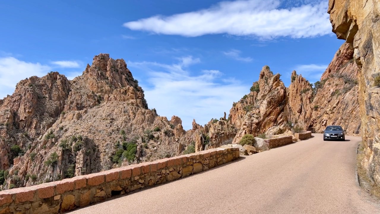
- Corsica Car Rentals: Unlocking Your Road Adventure

- 14 Days of Coastal Bliss: Unraveling Corsica’s Beach Paradise

- 14 Days of Corsican Elegance: A Cultural Exploration Journey

- 14 Days of Corsican Wilderness: Unleashing Nature’s Spectacle

- 10 Days in Corsica: A Beach Lover’s Ultimate Itinerary

- 10 Days in the Heart of Corsican Grace: A Journey Through Culture and Beauty